An independent provider of professional Survey & mapping services in SE Asia since 1997
Land & Engineering Surveying
GCI undertakes accurate and reliable topographic & hydrographic mapping, terrain data and underwater bed models for detailed engineering design and volumetric calculations.
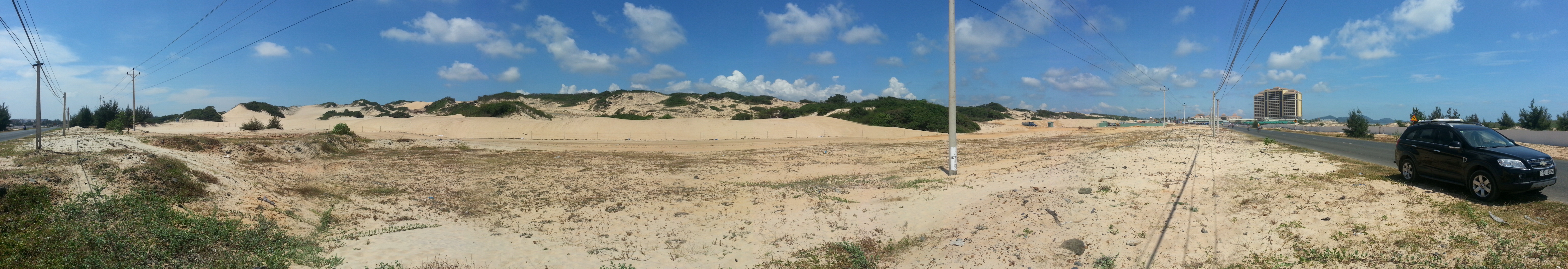
The Bluffs Ho Tram Golf Course (Pre-construction)
Services
Topographic mapping for engineering design & construction
Earthworks surveys & volume estimates for land development
Site/project boundary, legal, lease & ROW surveys
Golf course surveys, pre- & post construction for volume quantities & claims
Stockpiles, waste, & overburden surveys for mining & extraction
As-built surveys & drawings for land infrastructure & structures
Hydrographic (bathymetric) surveying and mapping
Erosion/accretion surveys for coastal & riparian developments
Sub-surface mapping with Ground Penetrating Radar (GPR) & SWAS
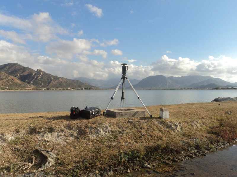
Control network design, establishment & monitoring
UAV (drone) mapping (topographic and feature) and modelling for large and/or difficult sites
3D digital terrain, elevation & surface modelling (DTM, DSM, DEM)
As-built surveys for Building Information Management (BIM) modelling
Route, transmission & corridor mapping
Projects (Selected)
The Bluffs Championship Golf Course – Ho Tram, VietnamGCI survey crews worked extensively on this premium gold destination, from initial topographic and control surveys to earthworks and volumes surveys to final golf and infrastructure as-builts surveys and drawings. GCI was engaged by the owner/developer and golf course contractor at various stages of the project.
Ninh Thuan Nuclear Power Project II -Ninh Thuan Province, VietnamGCI provided aerial photography and topographic mapping at 1:5000 and 1:100 scales for the Feasibility Study of Vietnam’s first modern nuclear power projects. Over 200 km² was flown and mapped for AAS of Japan, under JICA funding.
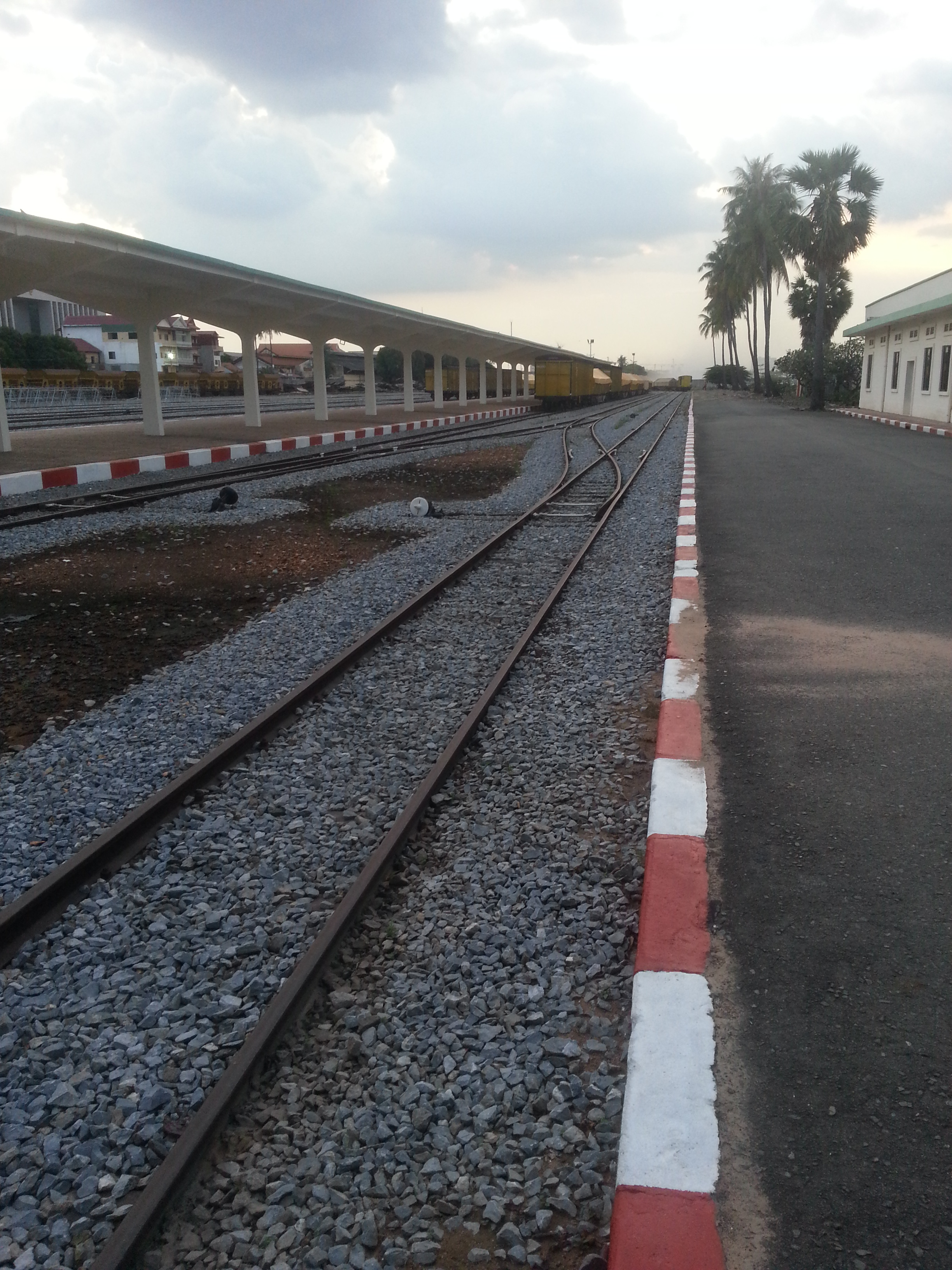
RoyalToll Railway -Phnom Penh to Sihanoukville, CambodiaNovare Design from New Zealand engaged GCI for the topographic and utility feature mapping of over 30 level rail crossings on the Cambodian Railway Southern Line.